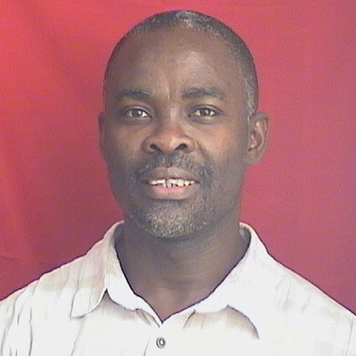
Profile
I am a Geoscientist with expertise covering climate and hydrology (water resources), and Geographic Information Science (GIScience) and remote sensing. More information.
Hydrology (water resources) & Climate
My overall research motivation is to contribute to sustainable water resources management, by assessing environmental accounts in the Earth’s water cycle, ecosystem, and carbon cycle. This motivation has led to integrated assessment of climate variability and human impact on water resources, and the use of advanced land surface monitoring strategies for efficient observation-model synthesis. My research employs hydrologic and land surface models, along with field and remotely sensed (e.g. satellite) observations to better understand and model water and carbon cycles and ecosystem functioning. I believe the future of water resources research lie in the development of improved hydrologic and land surface narrative, through advanced monitoring strategies, and the development of state-of-the-art procedures to better predict terrestrial ecosystem processes under changing climatic and human impacts. This requires extensive research in the evolution of landscapes, climates, and coupled human-water systems, to deliver water resource solutions in an adaptive manner for societal benefits. My research integrates several analytical approaches including climate, hydrological and land surface modeling, environmental modeling and analysis, remote sensing, data assimilation, geospatial data analysis, complex systems, data mining, evolutionary algorithms, and multi-objective methods.
GIScience (Geospatial Science and Technology)
I examine the capability of spatial inquiry and geospatial analysis tools to learn about the human and the physical environment. In particular, I employ GIScience as a tool for spatio-temporal inquiry, and decision making under uncertainty. More information on private webpage.
Geospatial Technologies and Applications Training Workshop & User Conference
This is an annual training workshop and user conference which combines formal presentation with hands-on practical exercises, both designed to engage participants in an active interaction with geospatial concepts, software, technologies, data, and real-world problems. The user conference creates a forum to foster progress in the field of science and technology of location data, through learning, sharing, networking, collaboration, creating new opportunities and establishing new collaborations, and exploring new avenues of development and related research. More information available here.

