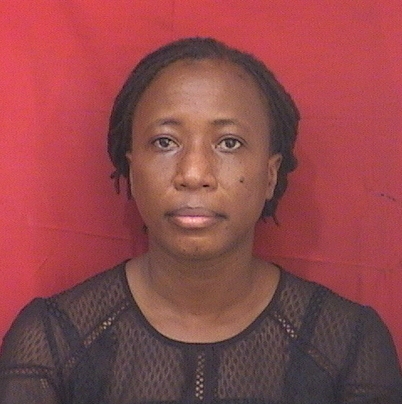
Profile
Harriet Atsufui Ahorsu is an Assistant Lecturer at the Department of Geomatic Engineering with an MSc. in Geomatic Engineering. Her interest in Photogrammetry lit up when she worked on identifying false compensation claims using aerial photos of a mining concession. She has worked on several drone data capture projects from mapping several communities (for a typhoid vaccine trial program) to creating topographic maps of building construction sites. She loves collaborating with professionals from fields outside geomatics to bring geospatial solutions to bear whiles gaining intriguing insights into societal issues from new perspectives. She is currently pursuing a PhD in Geomatic Engineering in her department.

